News and Updates
Contact
Faculty of Social Science
Social Science Centre
Room 9438
Western University
T. 519-661-2053
F. 519-661-3868
E. social-science@uwo.ca
Department of Geography named Esri Canada Centre of Higher Education Excellence
December 15, 2017
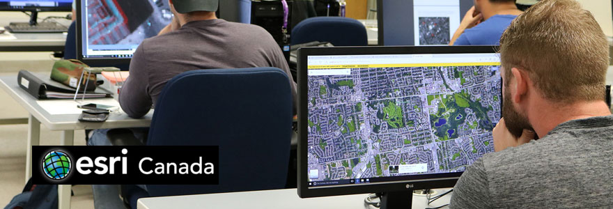
The Department of Geography recently signed on to become the 11th Esri Canada Centre of Higher Education Excellence (ECCE). The ECCE program is intended to give recognition and special status to qualifying departments within post-secondary institutions in Canada that educate students in Environmental Systems Research Institute Inc (Esri) Geographic Information Systems (GIS) technology.
ECCE centres have “a critical mass” of GIS expertise, said Jamie Voogt, Chair of the Department of Geography, including relevant courses, enrolments, number of graduate students and Faculty members specializing in GIS.
The ArcGIS software is widely used in industry and research, and training on this software provides important hands-on experience for our students.
Western has a campus-wide site licence for ArcGIS from Esri for faculty and graduate students. Undergraduate students can access a limited number of one-year Esri student licences.
“Before we used ArcGIS in our courses we had a lot of student demand for it,” said Voogt.
Geography has been using ArcGIS within its GIS courses now for several years, and with the current development of a new teaching computer laboratory and faculty renewal in the area of Geographic Information Science beginning this year, the department felt the time was right to join the ECCE program.
At Western, research and teaching on Geographic Information Science (GISci) is focused in the Department of Geography in three core areas of GISci: GIS, remote sensing and cartography.
GIS research and teaching include: exploratory spatial data analysis, spatial modelling, spatial statistics, multi-criteria analysis, and visualization methods. The GIS-based approaches are applied to answer research questions and to analyze spatial planning/policy-related problems in the areas of: health and health care, urban land use, sustainable development, water systems, and landscape studies.
Remote sensing methods (such as pattern recognition, feature detection and extraction techniques) address specific topics with an emphasis on environmental issues with local and global significance including: natural resource management and earth surface processes such as vegetation patterns, river channel form, and urban surface temperatures.
Cartography complements the two main teaching and research interests in GISci. This research strand centres on history of cartography, historical maps, and lunar and planetary cartography and mapping.
As an ECCE, the Department of Geography will be looking for up to six student associates on an annual basis to represent Western, participate in an App Challenge held by Esri and contribute regularly to a blog. These students will receive coaching and training in
custom software application development on the web and on mobile computing platforms.
Student associates will be entitled to receive an ArcGIS Developer Premium Subscription, free registration at local Esri Canada user conferences, have free access to Esri instructor-led training courses, and have access to Esri Canada Higher Education staff for developer/
technical support.
The student engagement with the program is intended to help promote communication and collaboration between schools and amongst disciplines on campus that use GIS technology. The program will help improve students’ career networking, education and practical training and their contributions to the program will build capabilities in GIS software for other users. Geography looks forward to becoming the newest ECCE in Canada.

